
Santo Antão Travel Guide (2026): Cape Verde’s Hiking Paradise
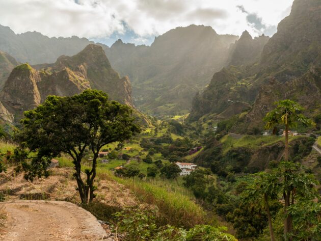
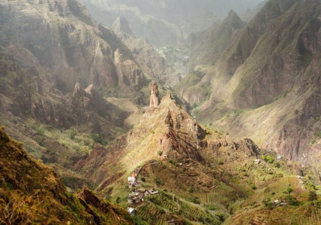
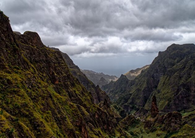
Santo Antão is the second-largest and northernmost island in Cape Verde. It stands out as one of the most scenic and diverse islands in the archipelago, famous for its dramatic volcanic landscapes, lush green valleys, terraced fields, pine forests, and rugged coastlines. Unlike the drier, beach-focused islands like Sal or Boa Vista, Santo Antão appeals to hikers, nature lovers, and those seeking authentic local culture. It feels wild and relatively untouched by mass tourism.
How to Get There
Santo Antão has no operational airport, so access is by ferry from São Vicente island.
Fly into Cesária Évora Airport (VXE) on São Vicente (direct or connecting flights from Europe, Praia, or other islands).
Take a taxi or shared transport to Mindelo harbor (about 15-30 minutes).
Ferry to Porto Novo on Santo Antão: ~1 hour crossing. Ferries typically run twice daily (e.g., morning and afternoon). Tickets cost around 800-1100 CVE one way. Book in advance if possible, especially in peak season.
Pro tip: Plan your flight and ferry connections carefully to avoid overnight stays in Mindelo unless desired.
Best Time to Visit
The dry season (November to June/July) is ideal for hiking, with clearer trails and comfortable temperatures (around 20-25°C/68-77°F). December to April offers particularly good conditions.
The island turns greener after the rainy season (August-October), but trails can be slippery. Trade winds blow strongly at times, especially on exposed ridges.
Top Attractions and Things to Do
Hiking (The Main Reason to Visit)
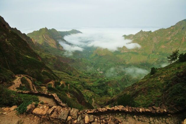
Santo Antão is a hiker’s paradise with hundreds of kilometers of trails, many following old cobblestone paths used by locals.
Must-Do Hikes:
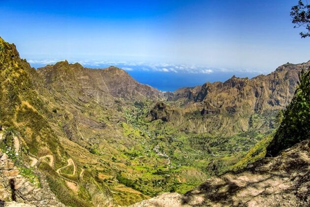
Cova Crater to Paul Valley (or Cidade das Pombas): One of the most spectacular. Descend from a volcanic crater into a lush, fertile valley with terraced farms and tropical vegetation. Medium difficulty, stunning views.
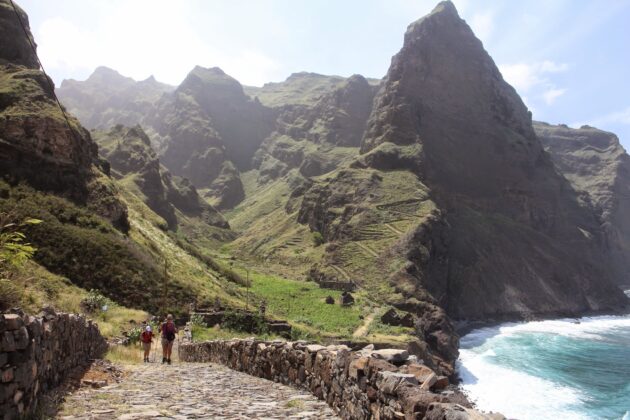
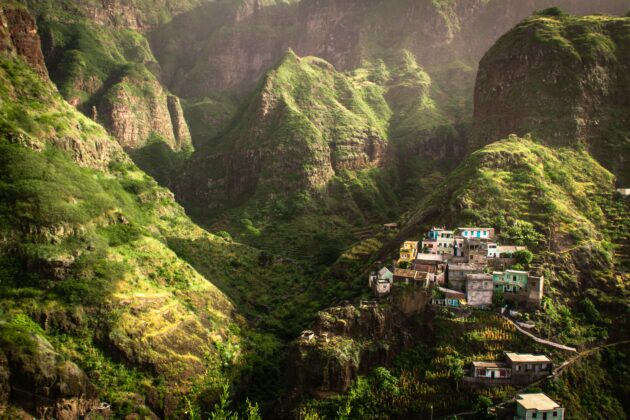
Ponta do Sol to Cruzinha (via Fontainhas): Iconic coastal trail with dramatic cliffs, colorful villages perched on hillsides (Fontainhas is a highlight), and ocean views. Often called one of Cape Verde’s most beautiful walks.
Ribeira Grande / Xôxô Valley: Explore deep valleys, waterfalls, and rural villages.
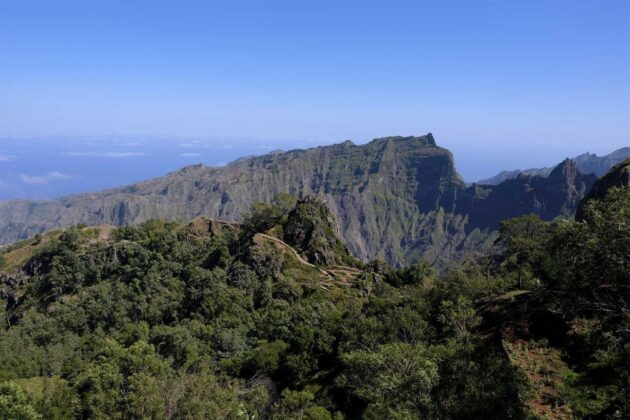
Pico da Cruz or Delgadim Ridge: For panoramic highland views.
Other options: Corda to Coculi, Ribeira de Torre, or shorter valley walks.
Many hikes can be done independently with a good map/app, but hiring a local guide is recommended for longer or more remote ones. Guided day tours are widely available.
Scenic Drives and Viewpoints
The Porto Novo to Ribeira Grande road (especially via Corda) is breathtaking, with switchbacks through mountains and forests.
Estrada a Corda: A remarkable cobblestone road offering epic views.
Villages and Culture
Fontainhas: One of the most picturesque villages in the world, clinging to cliffs.
Ponta do Sol: Charming coastal town with a harbor and good base for hikes.
Paul Valley: Lush and agricultural.
Tarrafal de Monte Trigo: The best beach area with calmer waters for swimming (rare on this windy island).
Other Activities
Swim in natural pools or relax on black-sand beaches (when conditions allow).
Sample local grogue (sugar cane spirit) and coffee.
Canyoning or village visits.
Where to Stay
Ponta do Sol or Ribeira Grande: Good for coastal access and amenities.
Paul Valley: Immersive stays in guesthouses amid the greenery.
Porto Novo: Convenient for arrivals but less scenic.
Options range from simple family-run guesthouses (pensões) to comfortable eco-lodges. Book ahead in high season. Many offer meals and can arrange hikes.
Food and Drink
Cape Verdean cuisine shines here with fresh ingredients:
Cachupa (national dish: stew with corn, beans, meat/fish).
Fresh seafood, especially tuna and lobster.
Local goat cheese, fruits from the valleys, and grogue.
Try restaurants in Ponta do Sol or family-run spots in smaller villages. Portions are generous.
Getting Around
Aluguers (shared minibuses/taxis): Cheap and authentic way to travel between towns. They depart when full.
Private taxis or arranged transfers for flexibility.
Renting a car (4×4 recommended) is possible but roads can be steep and winding.
Practical Tips
Currency: Cape Verdean Escudo (CVE). Euros are sometimes accepted; ATMs are limited outside main towns — bring cash.
Language: Portuguese (official); Creole widely spoken. English is limited outside tourist areas.
Safety: Generally very safe, but stick to marked trails and use common sense.
What to Pack: Good hiking boots/shoes, layers (cooler in highlands), rain jacket, sun protection, reusable water bottle, and cash.
Health: No malaria risk on Santo Antão, but stay hydrated. Tap water is not always drinkable.
Electricity: European-style plugs (220V).
Sustainability: Support local guides and businesses. The island’s environment is fragile.
Suggested Itinerary (5-7 Days)
Day 1: Arrive in Porto Novo, transfer to Ponta do Sol or Paul.
Day 2: Coastal hike (Ponta do Sol – Fontainhas – Cruzinha).
Day 3: Cova Crater to Paul Valley.
Day 4: Explore Ribeira Grande area and Xôxô Valley.
Day 5: Tarrafal beach or highland drive/hike.
Day 6-7: Relax or additional trails before departing.
Final Thoughts
Santo Antão rewards those who embrace its raw beauty and slower pace. Whether you come for multi-day treks or scenic exploration, it leaves a lasting impression as one of Cape Verde’s true gems.
Safe travels — enjoy the trails!